Marine Weather (compact) Marine Weather Info (compact)
(Mostly Central L. Erie)
|| Weather | Marine Weather | Marine Weather (compact version) | Grand River Local Info ||
L Erie Marine Forecast Willowick to Geneva
|| Nearshore | Offshore ||
Surface Winds


NBDC National Buoy Data Center Links
(west to east, buoys have wave data)

|| S_Bass_I | Lakewood_Buoy | Cleveland_Intake_Crib_Buoy ||
|| Fairport ||
|| Geneva | Erie_PA_Buoy | Port_Colborne_Buoy ||
NBDC 5-Day Data Graphs (click for larger version, scales change to fit data)
WIND Cleveland_Buoy
Euclid_Buoy
*** Fairport ***
Erie_PA_Buoy
WAVES No Wave
Data

More up to the minute
wind data frm NOAA
|| Cleveland | **Fairport** | Erie, PA ||

Wind Forecasts || Wind Alert Graphic | Wind Finder Graphic | Sail Flow Map ||
Water Levels Water Flow
Current Levels
Grand River, OH

History and Forecast
USACE Water Level Forecast Page
Current Monthly Bulletin
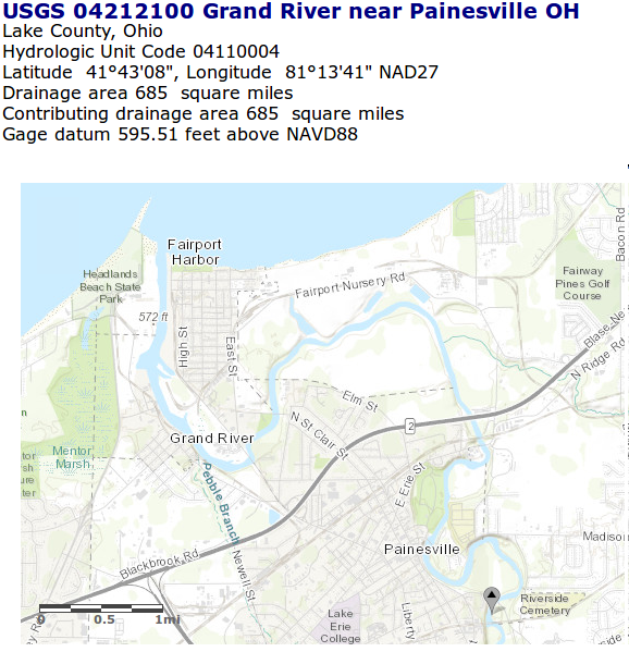
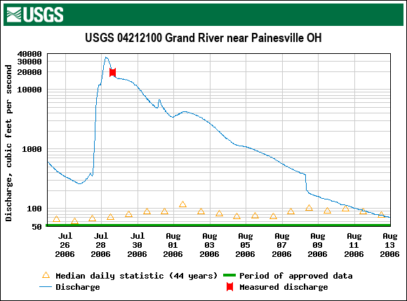
USGS Water Flow Data
USGS 04212100 Grand River near Painesville OH
Current Gauge Data
Searchable Historic Data
Gauge Information
Data Showing Flood of 2006

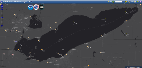
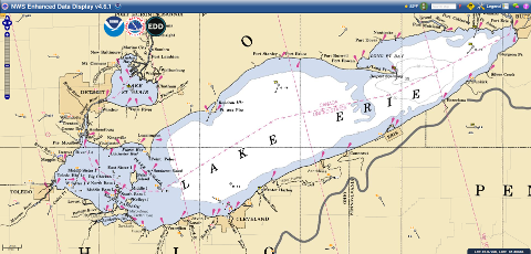
NOAA Interactive Weather Maps
With Radar Overlay
Grey Background

Wide area around L. Erie
L. Erie
Cleveland to Ashtabula
NOAA Chart Background

Wide area around L. Erie
L. Erie
Cleveland to Ashtabula

Forecast Map
Click for Forecast Map

Web Cams || CLYC Web Cam | MHYC Web Cam | Fairport Harbor Web Cam | Lake Erie Bluffs Web Cam | Chris Wilson's List ||