|
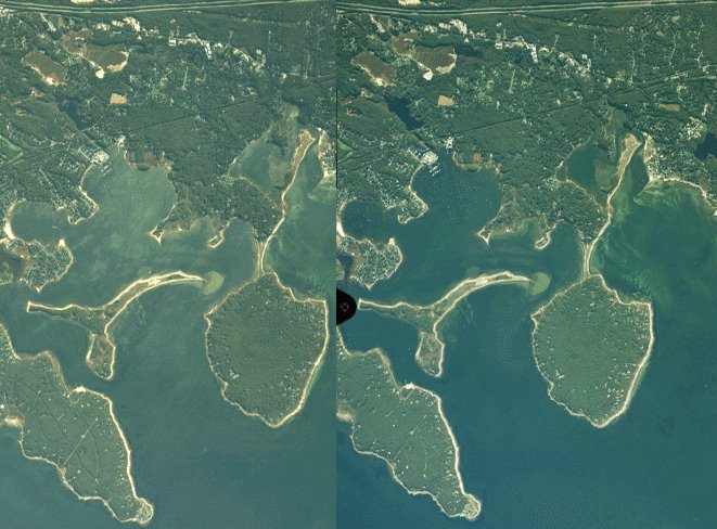
These images are from National Ocean Service coastal air photos. I got them on the NOS mapserver web site: http://mapfinder.nos.noaa.gov/ These images are stereo pairs. You can view by relaxing your eyes to combine the images. Pick a prominent feature on the image, like the right tip of the island. Take your mouse pointer and hold it over the feature on the image for your less dominant eye (that's the right eye for me) and wiggle it as you try to blend the images. This helps me a lot and with a little practice it should work for you. There is not a lot of relief in these images but what really stands out when you view in stereo is the slightly oblique angle of the photo.
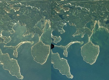
This image is might be bit large for doing the stereo viewing on the screen depending on screen settings and the willingness of your eyes to cooperate. I can do it on my 15" monitor at a 1024 setting but I have had some preactice. I made a smaller version for the more optically challanged. But the detail is not as good. Good luck, DHP.
There are links to lots more of these air photos on this page of my site: |