|
   |
Charts
G r e a t L a k e s
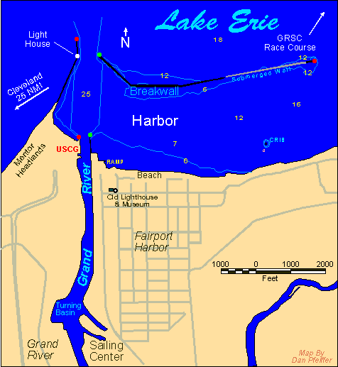
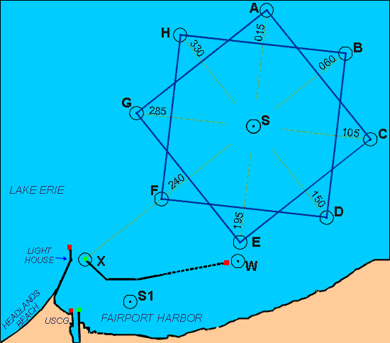
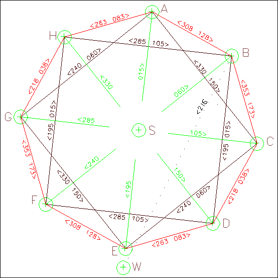
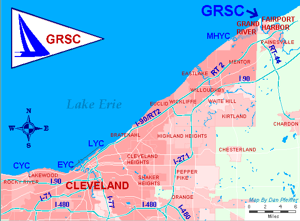
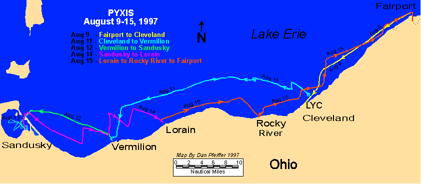
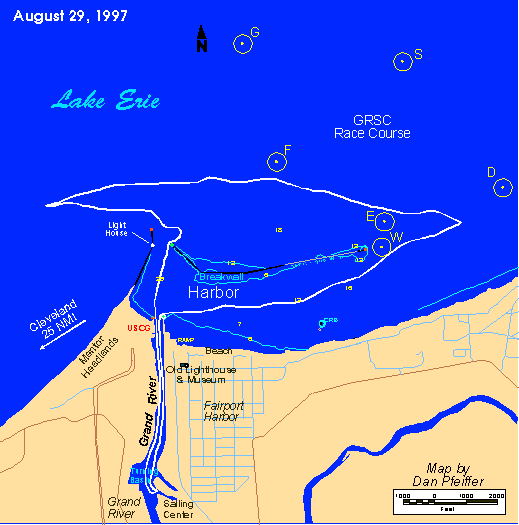
Lake Erie
Lake Champlain & Ontario
Detroit River and L. St CLair
Michigan - Straights of Mackinaw Area
E a s t C o a s t
North Carolina
Chesapeake Bay
Raritan Bay - Long Island Sound
Rhode Island
Buzzards Bay, Vinyard Sound, Cape Cod, New Hampshire
Maine
W e s t C o a s t
Coastal Air Photos
Jim Tomlin's page of Chesapeake Bay Coordinates
Pacific NW
Lake Erie
North Carolina - Albemarle Sound - Coastal Air Photos
Chesapeake Bay, Maryland Waters
Chesapeake Bay - Virginia
NYC
Maine
What do you think of my WWW pages?
Email me with you comments.
dan@pfeiffer.net